26 Days in Jordan (Part 3 of 3) – May 2023

We especially enjoyed our three days exploring Petra, a large archeological site in southern Jordan. The Red Rose City is by far the most popular of the country’s five UNESCO World Heritage Sites.
The Nabateans established Raqmu (now called Petra) as their capital around 400 BC. It evolved into an important and very prosperous trade center between Arabia, Egypt, and Syria-Phoenicia. At one time over 30,000 people lived there. Craftsmen and laborers carved away the red sandstone to create homes, shops, religious and medical buildings, tombs, and social centers.

Around 300 BC the Greeks tried unsuccessfully to take over the wealthy city and named the place Petra, meaning rock. About 200 years later the original trade route changed, so fewer merchants with their camel caravans traveled through Petra, leading to less power and wealth for the Nabateans. The Romans noticed the change and soon conquered the city, naming it Arabia Petraea. They added a number of buildings to the city, which were free-standing rather than the Nabatean-style structures carved into the stone.
Two earthquakes, in 363 AD and 551 AD, destroyed large portions of the city. As a result, most of the inhabitants moved to other locations. Over time sand and dirt covered the abandoned buildings. In the early 1800’s a Swiss explorer “discovered” Petra, leading to international interest from archeologists, photographers, and travellers. Scientists continue to find new parts and features of the ancient city that extended over about 60 square kilometers.
For our first day in Petra we explored on our own to get a good overview of the area and walk to the popular, “must-see” spots. We spent a great second day with archeologist Ma’moun, our guide who showed us additional important areas in the city and unique details carved into the sandstone His explanations of Nabatean life-style, religion, and science were very helpful. Our third day included revisiting some of the spots from days 1 and 2 for more photos, looking at a few more building remains, and hiking up to a viewpoint for an incredible look at The Treasury, the most photographed and recognized building in Petra. Our 3-day Red Rock City totals: walked 48 kilometers and climbed 212 floors. Whew!

At the end of Al Kubtha Trail
Our favorite time of day to walk through the Siq, Petra’s entranceway, was early in the morning before the tour groups and heat arrived. The natural geographical fault, smoothed over time by occasional flash floods, extends 1.2 kilometers and its walls rise up to 182 meters in some places. The narrowest sections are just 3 meters wide. Ma’moun explained that camel caravans most likely did not enter Petra through the Siq (meaning the shaft) for two reasons. First, heavily laden camels were wider than 3 meters. And second, the amount of waste from just one typical caravan of 100+ camels would have made the traveling through the Siq extremely unpleasant. Imagine the depth of poop if more camel caravans passed through the narrow passageway in a day.


The Treasury is the most recognized building in Petra because so many visitors have photographed it and a short section of the movie “Indiana Jones and the Last Crusade” was filmed here. The structure measures 37 meters tall and 24 meters wide. We were not allowed to go inside to see the empty interior. Tourists not wanting to walk further into Petra can negotiate for a camel ride in the large sandy area in front of the Treasury. We opted to walk.


With our guide we climbed the trail up Jebel Madhbah Mountain to reach the High Place of Sacrifice. Some archeologists believe Nabateans offered animal sacrifices to their god Dushara on the mountaintop, as well as practiced libation and burned frankincense. Our guide, Ma’moun, offered another theory. The place may have been used for celestial observation with the use of the sun obelisks, water clock, and water mirror that still exist there.


Ma’moun explained the Nabateans’ chronology and astronomy instruments using rocks, water, plus the positions of the sun and stars.


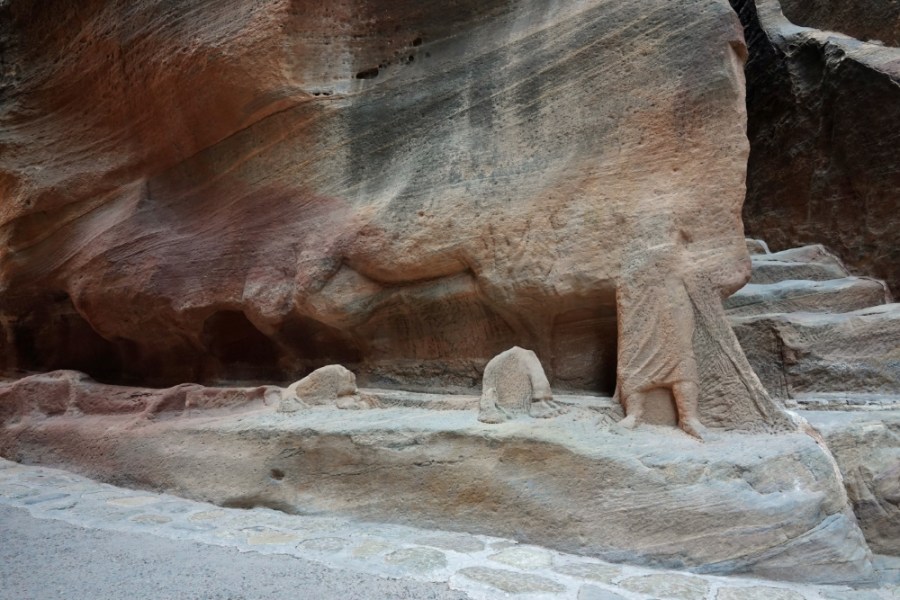
One of many niches in the Siq
The Nabateans created an innovative system to capture, move, and store water for human and farming uses in the arid area. Three impressive features of their hydro-engineering project: 1) an irrigation channel carved into the rocks of the twisty Siq with a drop of 4 meters over the length of about 1.5 kilometers 2) storage “tanks” carved into rock that could hold a total of about 40 million liters and 3) underground cisterns for saving the runoff from infrequent rains.
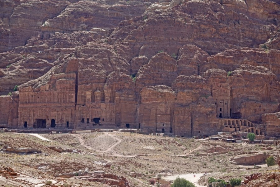
Street of Facades


(Rock-like clumps in rectangular trays)
The Theater seated up to 8,500 attendees. It was a venue in ancient times for poetry readings, dramas, & a few gladiator fights.


During the first century AD the Romans constructed The Great Temple, the largest stand-alone building in Petra. The 7,500 square meter complex occupies a prime location on the Colonnaded Street. Archeologists have not determined whether the building had a religious or administrative purpose.

Researchers working near The Great Temple discovered the Temple of the Winged Lions in 1973. The first-century religious temple originally featured walls covered with marble or plaster painted in red, green, yellow, black, and white colors. Unfortunately most of the site was destroyed in the 363 AD earthquake.


We spent quite a bit of time photographing and appreciating the ancient, well-preserved mosaics at the remains of the Byzantine Church. The 4th & 6th century earthquakes heavily damaged the building. About 30 years ago archeologists digging through the rubble located 140 papyri that described life in Petra and the surrounding area during the Byzantine period.

We climbed the 800 stairs to the 1st century Ad-Dier Monastery, a beautiful Nabatean structure extending 45 metes wide x 50 meters tall. It is the second-most visited site in Petra. The monastery may have been built as a tomb, but archeologists did not find any human remains or sarcophagi there.
